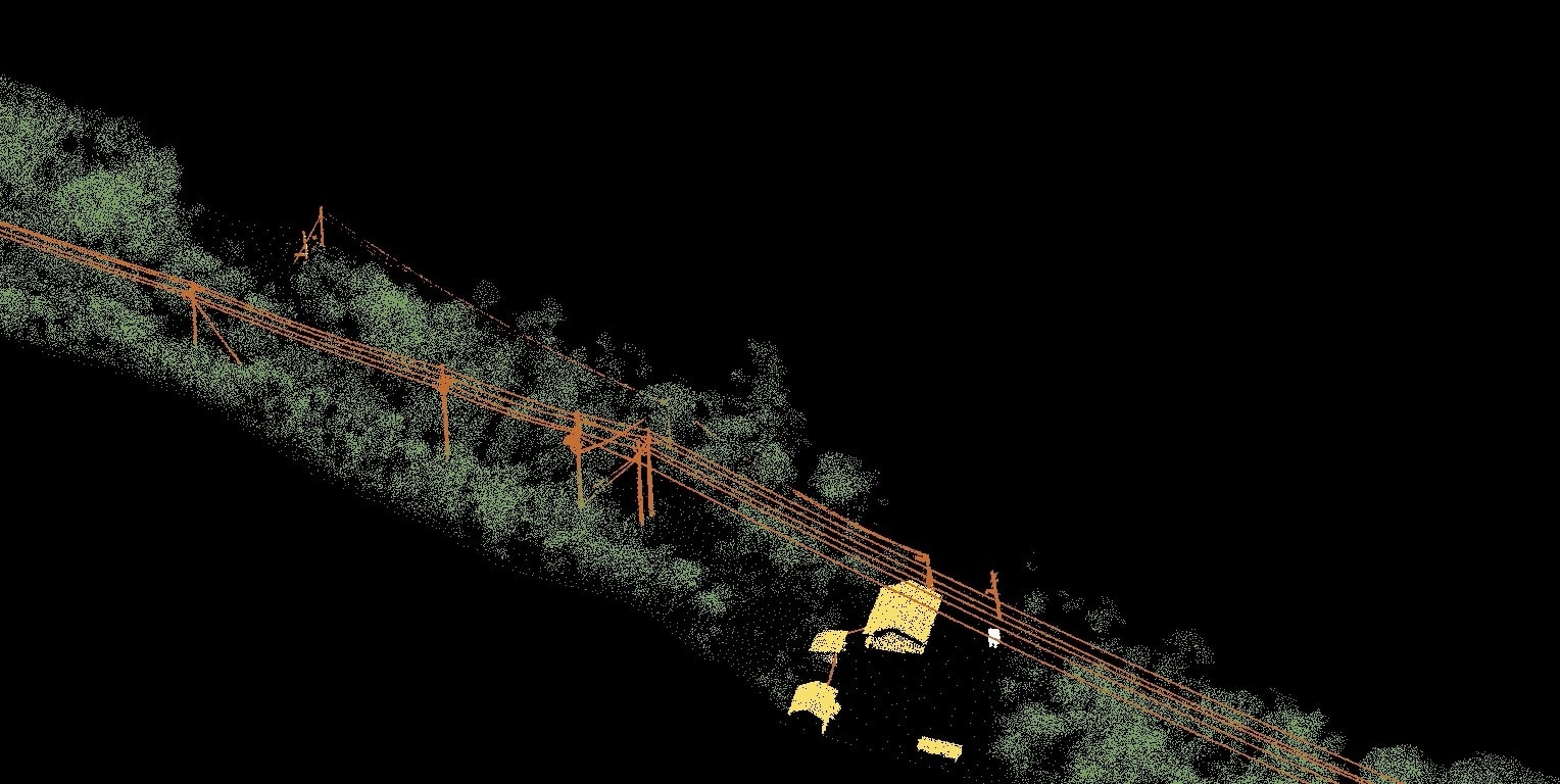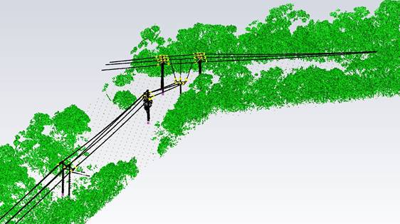

LiDAR (Light, Detection and Ranging) refers to a method of survey data capture whereby a laser is reflected off an object and the response time to the return sensor enables the calculation of the distance. When many thousands of laser pulses occur every second a detailed 3D point cloud of the surroundings can be created
SKYSKAN have prepared a detailed comparison of the difference between drone aerial LiDAR surveys and those captured using photogrammetric methods. Data capture with a drone-based LiDAR is more expensive than that completed with photogrammetry, mostly due to the costs of the sensors and drones that are required to carry them.

To get started please contact us using the form below. We’ll contact you as soon as possible to give a fixed quote for a specific job, or to arrange a free 15 minute chat so we can better understand your needs.